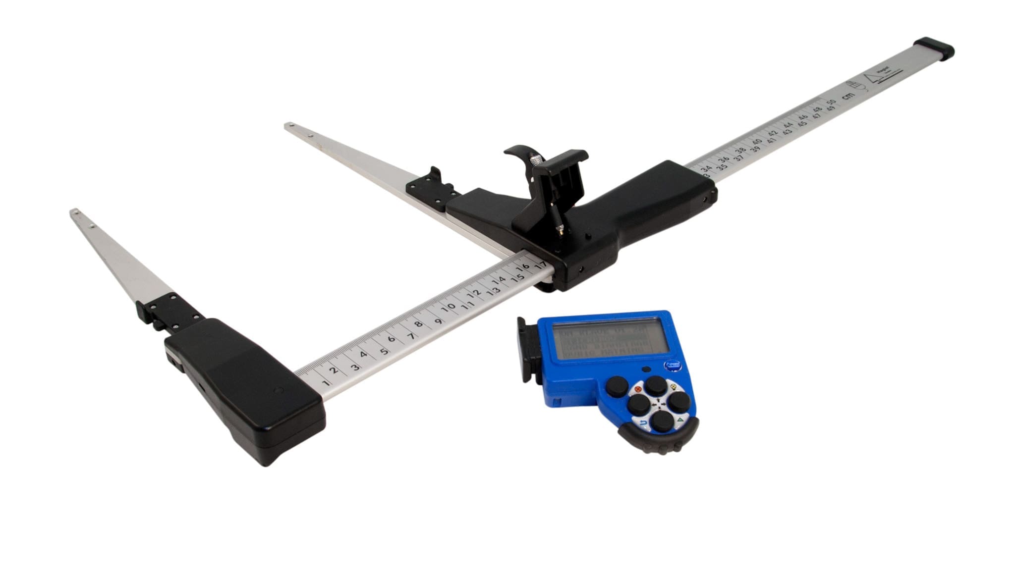
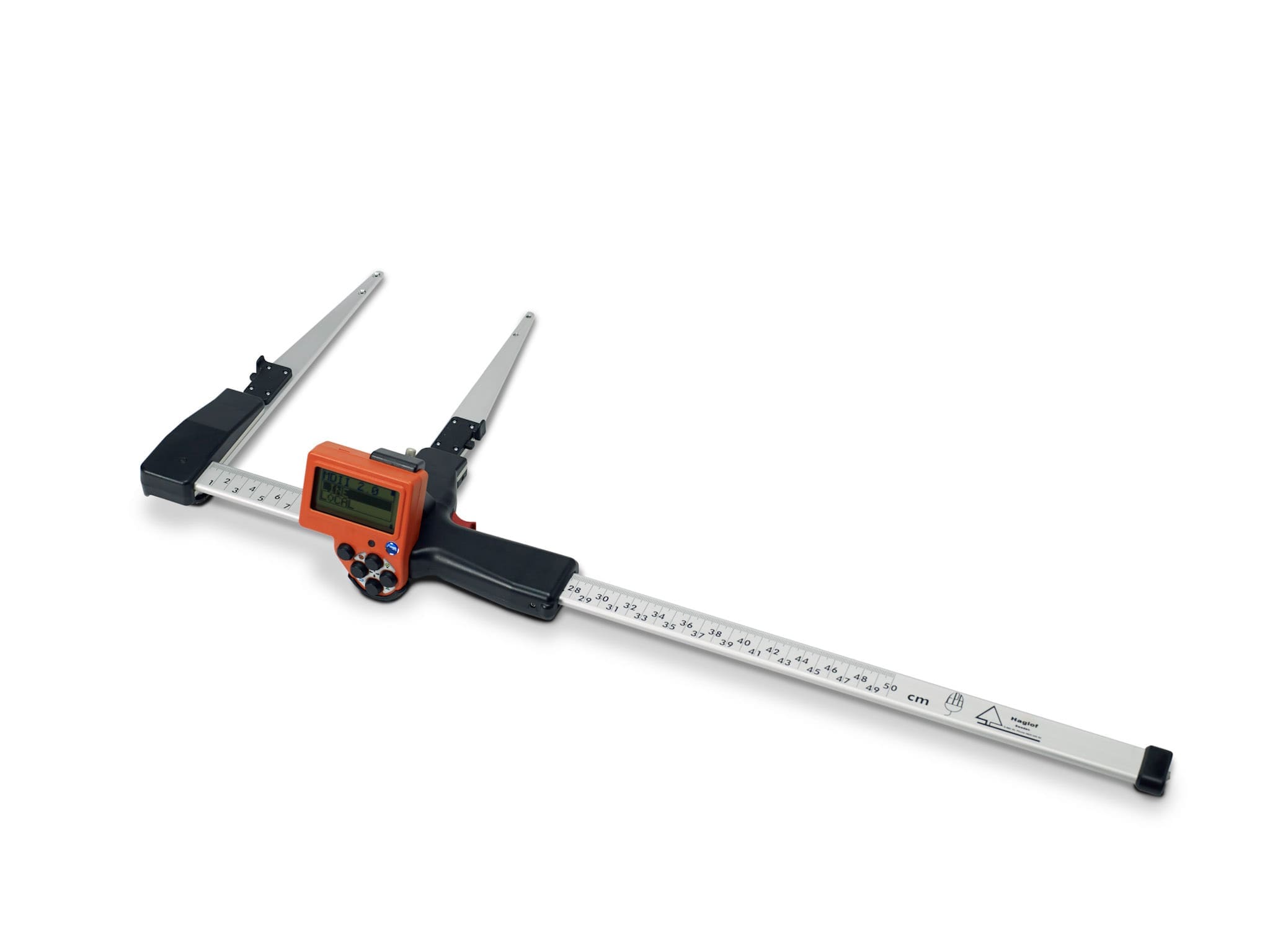
Hazard trees Line Clearance function. Measure on the wire Measure the tree height The unit calculates if the tree will fall on the wire or not. The unit calculates and present how much the tree will hit the the line GPS and Mapping The built-in GPS receiver allows you to tag data with coordinates with the push of a button. Data is stored on a built-in SSD memory and is available for further processing via a standard USB connection to any PC or Apple computer. Files can be opened directly in your favorite GIS or spreadsheet application. Complex operations such as area measurement, 3D target mapping, and trail mapping have builtin capabilities. The 3D vector function allows you to measure remote targets such as canopy width. The instrument can also connect to an external Bluetooth GPS and use its coordinates for better accuracy. The receiver is a 33-channel high sensitivity receiver. Supports: GPS, Glonass, Galileo, QZSS. Built-in real tme correction w SBAS (EGNOS, WAAS, MSAS, GAGAN) Accuracy down to 2.5m/8.19ft in open terrain. Satellite position prediction for up to 3 days. Host Based multi-global navigation satellite system GPS(USA)/GLONASS(Russia)/Galileo(EU)/QZSS(JAPAN) SBAS Satellite-based augmentation systems: WAAS(US) EGNOS(EU) GAGAN (India) MSAS(Japan). Built-in self-generated orbit prediction (Faster TTFF up to 3 days), built-in jamming removing. Accuracy: Automatic position 2.5m CEP (circular error probable) (50% 24 hr static, -130dBm. Speed 0.1m/s (50%@30m/s.